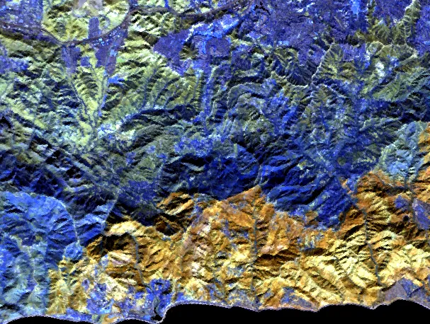
FireSpec
Hyperspectral burn-severity and fuel-condition mapping of the January 2025 Los Angeles fires, from Planet Tanager-1 imagery.
I manage geospatial and Earth observation data products and build much of them myself: the discovery with the people who use them, the requirements, and the pipeline. The work so far covers satellite object detection, hyperspectral wildfire mapping, real-estate site selection and utility risk. Mostly Python, and open source where the work allows.
The workHyperspectral burn-severity and fuel-condition mapping of the January 2025 Los Angeles fires, from Planet Tanager-1 imagery.
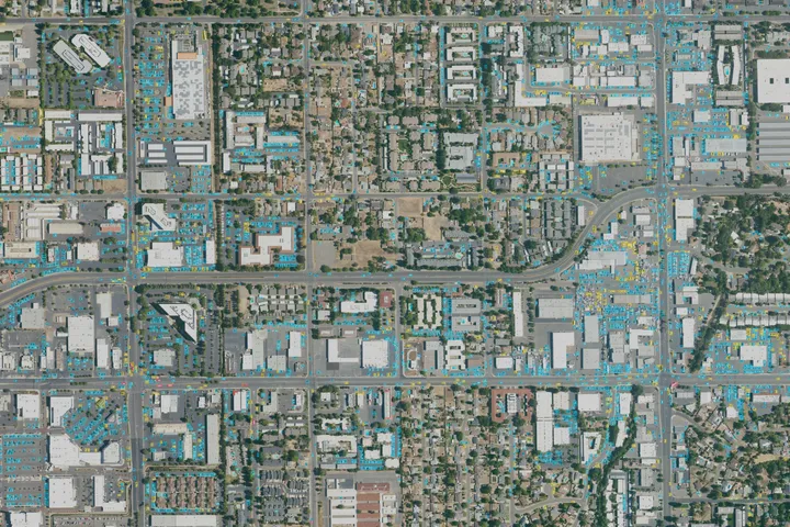
Runs RF-DETR over a GeoTIFF and hands the detections back as GeoJSON, GeoPackage or Shapefile, in the image's own coordinate system.
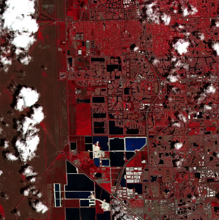
Turns a plain-language description of an event into a structured query, finds the satellite imagery, picks a detection algorithm to suit what it found, and writes the report.
FireSpec: Planet Tanager-1 shortwave-infrared bands, 23 January 2025, what the sensor recorded and not a FireSpec result. Tanager STAC Data © 2025 Planet Labs PBC. All Rights Reserved. detr-geo: the model's raw detections on NAIP imagery (USDA, public domain), from weights fine-tuned on xView (CC BY-NC-SA 4.0). FirstLight: Sentinel-2 false colour, 9 May 2026, surface reflectance rather than an analysis product. Contains modified Copernicus Sentinel data 2026.
Spectral unmixing of the January 2025 Palisades Fire with Planet's Tanager-1, checked against a reference library that never saw the image.
Notes on wiring a git push straight through to a live page.
A first post to prove the blog pipeline end to end.